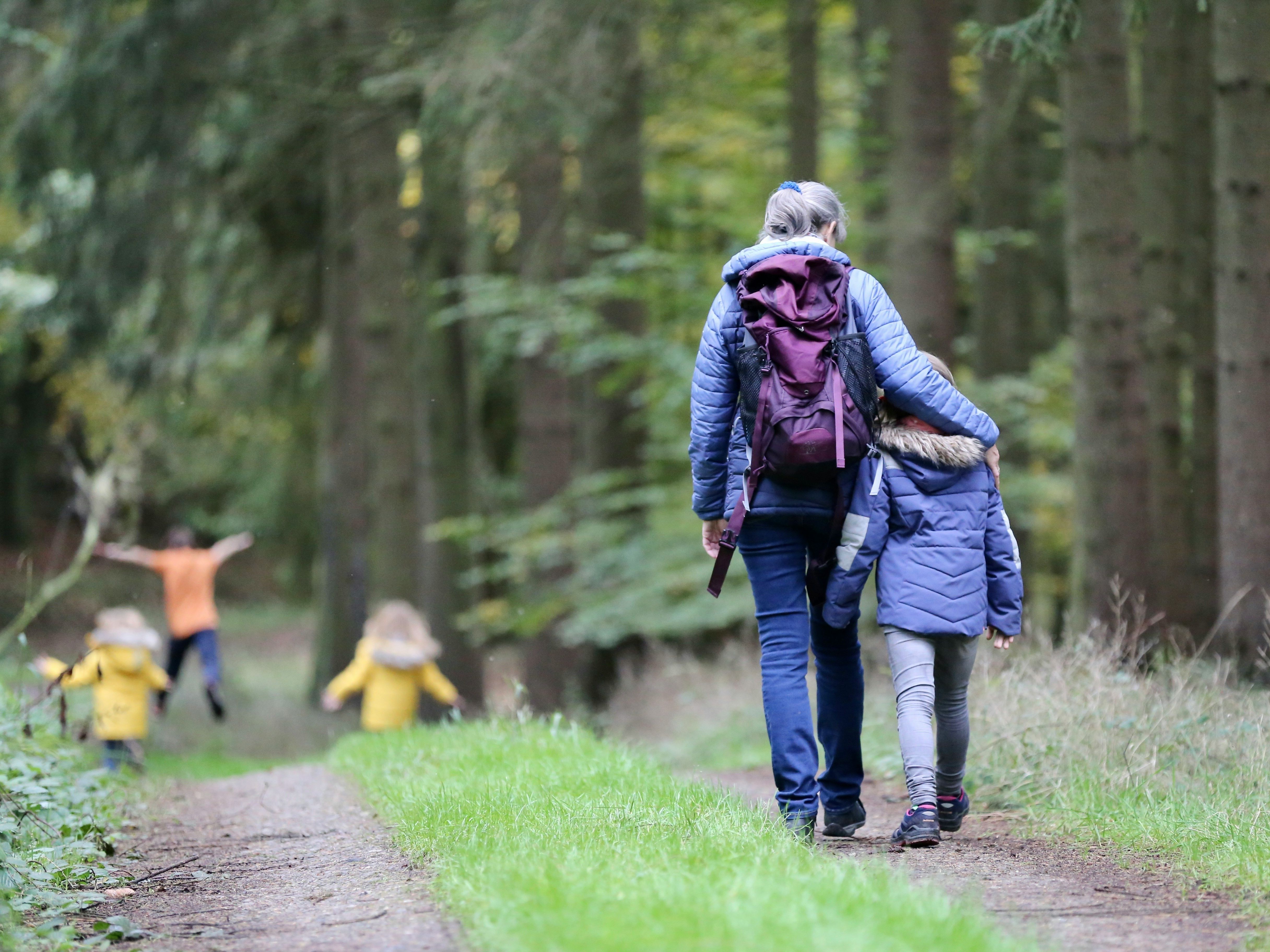
Suffolk Walks
What better way to get a true sense of Suffolk than by exploring on foot? With the highest point in Suffolk being just 420ft above sea level, Suffolk’s gentle terrain lends itself to undemanding walking.
Put your best foot forward and discover Suffolk’s wide open vistas, sensational sunsets and famous sweeping skies. Whether you're an experienced hiker or a casual rambler, walking is one of the best ways to explore the area throughout all seasons.
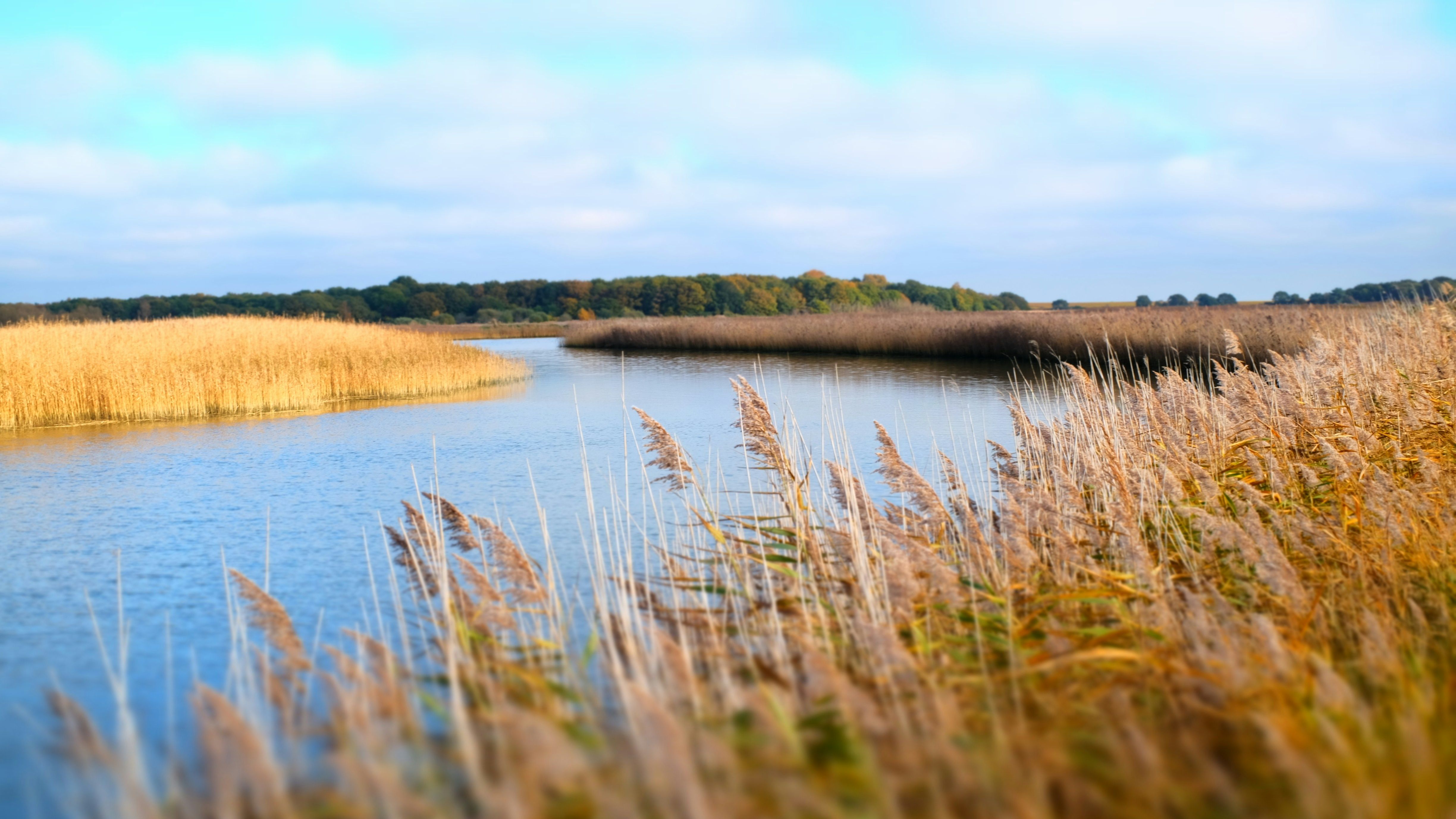
Suffolk’s diverse terrain includes heathland, farmland, woodland, forests, river valleys, and estuaries, and with the beautiful heritage coast just 25 minutes from our pub, you can explore the famous Suffolk Coast Path at your leisure.
If you’d rather not drive, simply step out of the White Horse into the vast open countryside. We have three circular walks that start and return to the White Horse; you can time them to arrive back for a spot of well-earned lunch or dinner. We have maps available for each walk.
Here are just a few of our favourite Suffolk Walks:
From Sibton White Horse Inn
These carefully selected walking routes have been tried and tested to help you make the most of the beautiful local countryside. Pop by reception and we’ll be happy to provide maps and directions.
Walk 1: Approximately 5 miles and takes 2½ hours, depending on pace. Mainly flat terrain with stretches on minor roads.
Walk 2: Approximately 2½ miles and takes around 1¼ hours, depending on pace. There’s a short stretch of uneven ground at the start that could be wet after rain. Generally flat afterwards with stretches on minor roads.
Walk 3: Approximately 3 miles and taking 1½ hours, depending on pace. Mainly flat terrain with stretches on minor roads.
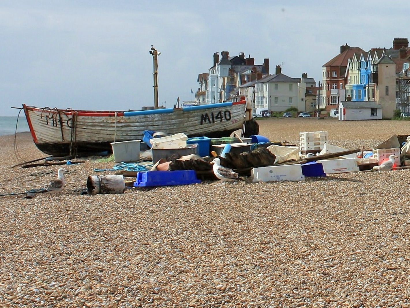
The Suffolk Coast Path
Stretching for 60 miles from Landguard Point in Felixstowe to South Pier in Lowestoft, the Suffolk Coast Path is one of the county’s most well-trodden destinations. Some of the highlights along the route include Snape Maltings, a leading music centre with shops, galleries and outdoor activities, the seaside towns of Aldeburgh and Southwold, the Bawdsey Foot Ferry, the Martello Towers at Shingle Street and the ruggedly wild beaches of Covehithe and Walberswick.
You can pick the route up at any point, and there are several popular circular walks, including the Orford Loop and the Southwold circular walk.
Perfect for: Breath-taking scenery and wildlife spotting
Walk Length: Various
Difficulty: Easy
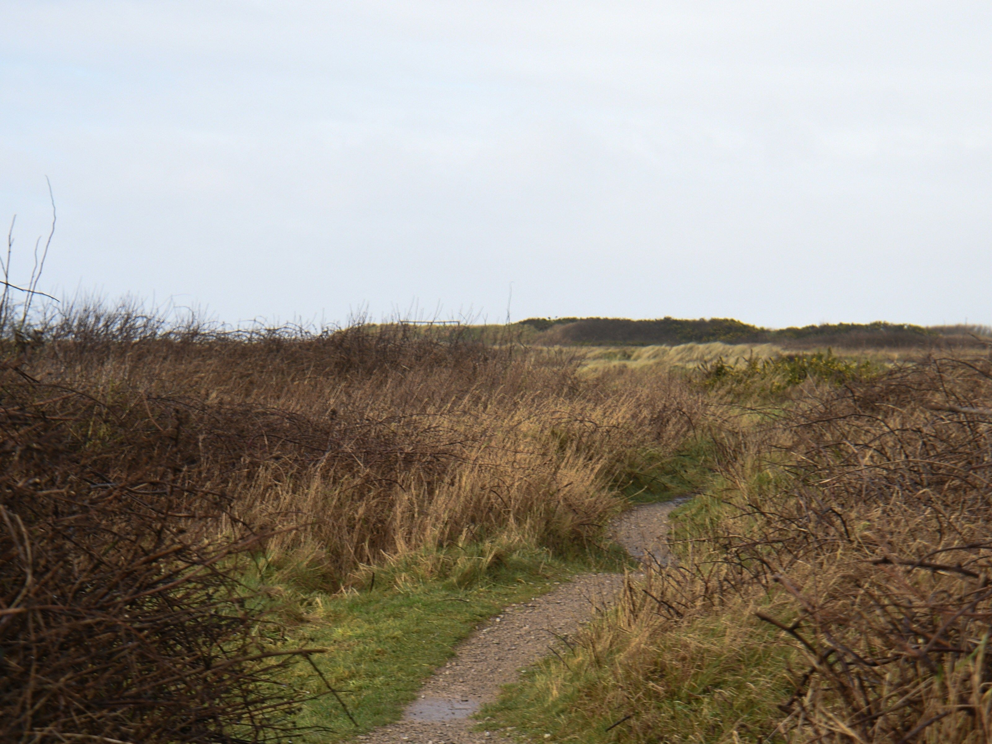
Dunwich Heath Circular
Part of the Suffolk & Essex Coast & Heaths National Landscape, Dunwich Heath is an area of coastal lowland, near the village of Dunwich.
The circular walk takes in Dunwich Heath and Greyfriars Wood, and you’ll experience a range of different terrains, including shingle coastline, ancient woodlands and heathland. You can also explore the village of Dunwich and nearby Walberswick.
Perfect for: Wildlife spotting
Walk Length: Approx 5 miles
Difficulty: Easy
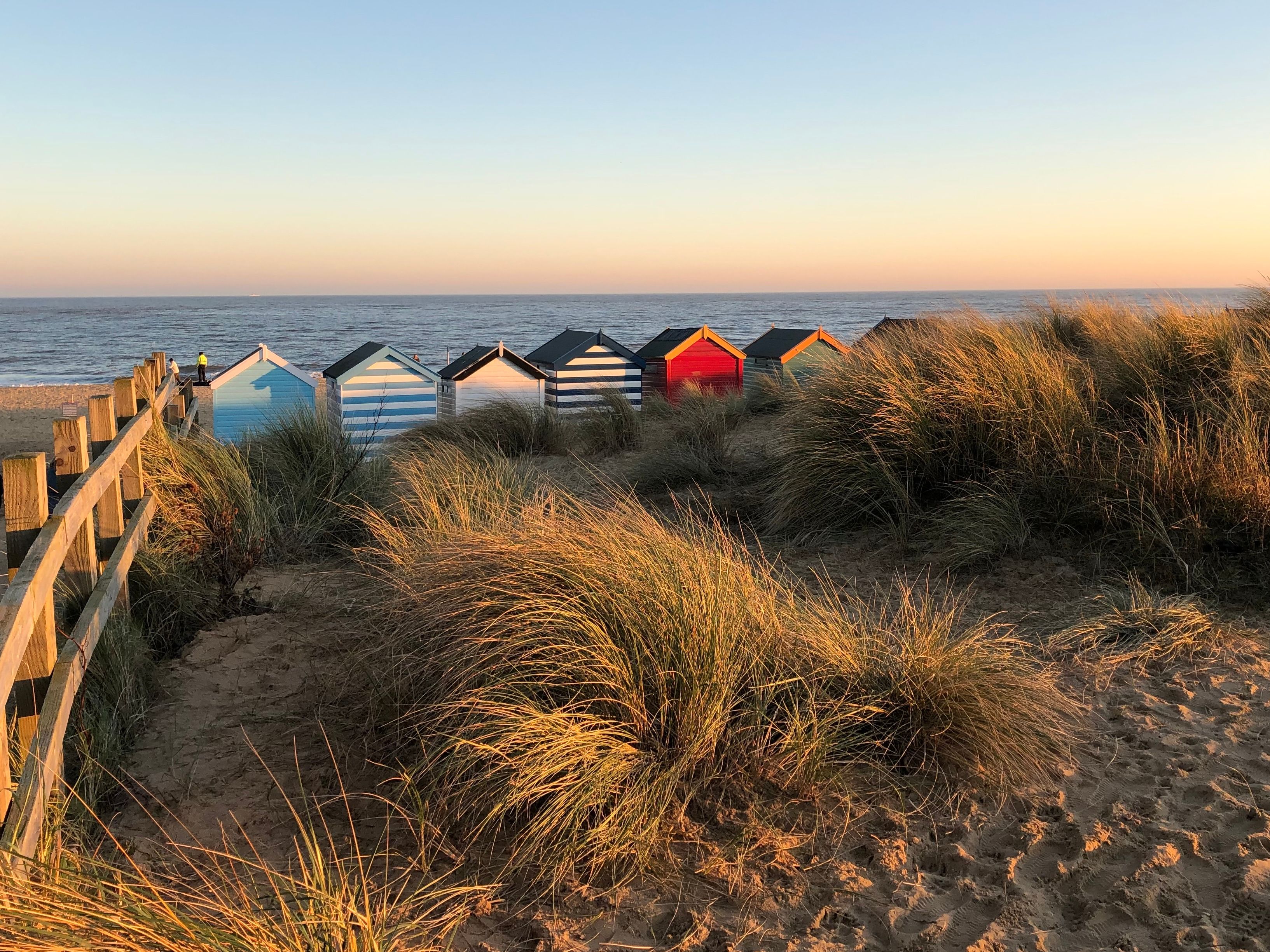
Aldeburgh to Thorpeness Circular
One of the most popular Suffolk walks, this circular stroll will reward you with some of the most spectacular views on the Heritage Coast.
Starting at Fort Green car park in Aldeburgh, the route is mostly flat, following public right of way and permissive footpaths. You’ll discover the towns of Aldeburgh and Thorpeness, shingle beaches, the old ‘House in the Clouds’ water tower, the North Warren Nature Reserve and Old Railway Line, a Martello Tower and an old Mill. Keep your eyes peeled for an interesting scallop sculpture!
Perfect for: Multiple historic points of interest and wildlife spotting
Walk Length: Approx 6 miles
Difficulty: Easy

Sutton Hoo Woodland Walk
Tread the path of the Anglo-Saxons on this beautiful 2-mile circular trail. Explore the historic burial grounds and wander through the surrounding ancient woodland. The walk starts at the car park and heads through the woodland into the burial ground.
Sutton Hoo is owned by the National Trust, and you’ll need to pay for entry to Sutton Hoo to enjoy this walk. You can pick up a map of the route from the Visitor Centre.
Perfect for: History buffs and wildlife spotters
Walk Length: Approx 2 miles
Difficulty: Moderate with some steep hills